The North Cape is together with the Lofoten islands one of the key tourist attractions in northern Norway. It's the northernmost point reachable by public road in Europe. It's not the northernmost point in continental Europe (that is Cape Nordkinn, which lies 70km to the east), because North Cape lies on an island, Magerøya, and not on the mainland. It's however accessible by car, because Magerøya is connected by an undersea tunnel to the mainland. Near the North Cape there is another cape which extends even further north (Knivskjellodden cape, 1450 m more to the north than the North Cape), but the North Cape is much more easily accessible and has tourist facilities.
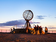
At the North Cape area there is a large parking for cars and campers and tourist facilities (the North Cape hall, a visitor centre built in 1988 on the plateau). The North Cape hall includes a cafe, a restaurant, a post office, a souvenir shop and a museum.
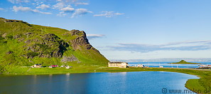
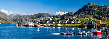
The island of Magerøya has an area of 436 km² and its highest point, Gråkallfjellet, is 417m above sea level. There are almost no trees on Magerøya, with the entire island consisting of a barren, tundra-covered landscape with several bays. The main population centre is Honningsvåg, which lies in the south of the island. All cities and villages are essentially fishermen villages.
 It's the northernmost point reachable by public road in Europe. It's not the northernmost point in continental Europe (that is Cape Nordkinn, which lies 70km to the east), because North Cape lies on an island, Magerøya, and not on the mainland. It's however accessible by car, because Magerøya is connected by an undersea tunnel to the mainland. Near the North Cape there is another cape which extends even further north (Knivskjellodden cape, 1450 m more to the north than the North Cape), but the North Cape is much more easily accessible and has tourist facilities.
At the North Cape area there is a large parking for cars and campers and tourist facilities (the North Cape hall, a visitor centre built in 1988 on the plateau). The North Cape hall includes a cafe, a restaurant, a post office, a souvenir shop and a museum.
The island of Magerøya has an area of 436 km² and its highest point, Gråkallfjellet, is 417m above sea level. There are almost no trees on Magerøya, with the entire island consisting of a barren, tundra-covered landscape with several bays. The main population centre is Honningsvåg, which lies in the south of the island. All cities and villages are essentially fishermen villages.

|

|

|
|
32 photos of Magerøya island, in northern Norway
|
25 photos of cities and villages on Magerøya island
|
19 photos of the midnight sun at the end of July
|

|

|
|
|
23 photos of the North Cape tourist area on the island of Magerøya
|
14 miscellaneous photos of Magerøya island and the Nordkapp municipality
|
Gallery with all images
|
Page viewed 1235 times since 09.10.20
©Copyright Alfred Molon
