
Troms
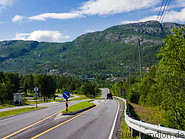
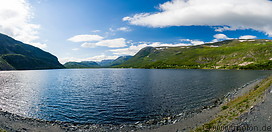
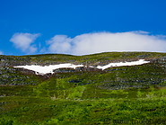
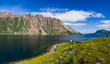
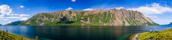
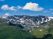
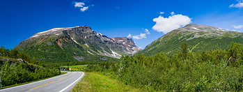
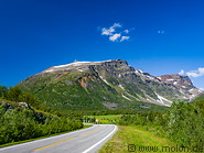
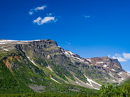
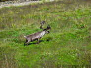
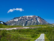
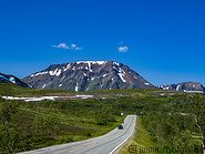
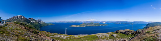
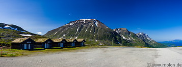
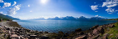
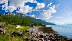
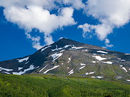
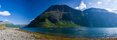
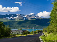
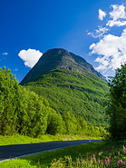
Troms is a former county in northern Norway. It is located along the coast,  north of the Arctic Circle and has a total area of 25877 km². It extends for about 250km from northeast to southwest and is centered around Tromsø. The region is mostly montainous, with the highest peak being the Jiekkevarre with a height of 1833m. Spread all over the county are several glaciers of which Øksfjordjøkelen extends down to sea level. The coastline is very rugged and indented, with many long fjords extending deep into the territory. The summers are short and fresh, but the winters are relatively mild due to the Gulf Stream. The population density is low: the entire county has only 166000 inhabitants.
How to get to Troms
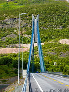
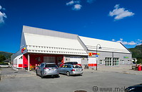
The region can be reached by car, plane (there are airports in some urban centres) and by boat.
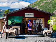
Accommodation
Accomodation options include hotels (in the urban centres or the countryside) and campings. It's also possible to book accomodation with private indidivuals using AirBnB.
north of the Arctic Circle and has a total area of 25877 km². It extends for about 250km from northeast to southwest and is centered around Tromsø. The region is mostly montainous, with the highest peak being the Jiekkevarre with a height of 1833m. Spread all over the county are several glaciers of which Øksfjordjøkelen extends down to sea level. The coastline is very rugged and indented, with many long fjords extending deep into the territory. The summers are short and fresh, but the winters are relatively mild due to the Gulf Stream. The population density is low: the entire county has only 166000 inhabitants.
How to get to Troms
The region can be reached by car, plane (there are airports in some urban centres) and by boat.
Accommodation
Accomodation options include hotels (in the urban centres or the countryside) and campings. It's also possible to book accomodation with private indidivuals using AirBnB.
|

|
|
|
|
|
|
|
|

|
|
|
|
|
|
|

|
|
|

|
|

|
|

|
|
|
|
|
|
|
|
Page viewed 1252 times since 15.10.20
©Copyright Alfred Molon