West Timor is the southwestern half of the Timor island and is a province of Indonesia. It extends for about 200km from southwest to northeast and is about 90km wide at its widest point. West Timor is relatively dry fro a tropical island and quite mountainous (highest peak is Mount Mutis at 2427m). The regional capital is Kupang, located at the southwestern end, which is also a regional travel hub with flights to Nusa Tenggara, Bali, Maluku and Papua New Guinea. The largest ethnic group on West Timor are the Tetum. The European colonisation of West Timor started in the 16th century with the Portuguese who were eventually replaced by the Dutch by the 17th century. Nowadays practically nothing is left of the colonial past, but the island is interesting due to the multitude of villages with houses still built in traditional style and the sceneries (mountains, beaches).
|

|
|
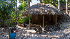
20 photos of Boti, a remote village in the southern mountains of West Timor with an own king
|
18 photos of Fatumnasi, a small village in the central mountains of West Timor at 1527m of altitude
|

|
|
|
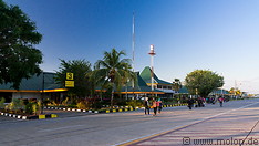
15 photos of Kefamenanu, a city and regional centre in West Timor and of the traditional village of Maslete
|
20 photos of Kupang, the regional capital of West Timor and its main travel hub
|

|
|

|
|
14 photos of None, a village in the interior of West Timor, in the past populated by headhunters
|
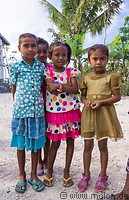
19 photos of people and villages in West Tiimor
|
20 photos of the southern coast of West Timor
|
|
|
|
|
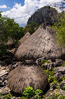
21 photos of Tamkesi, a very remote traditional village in the mountains of West Timor
|
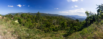
27 photos of the interior of West Timor, with mountains, forests and savannahs
|
Gallery with all images
|
Related travelogues
|
Page viewed 3552 times since 28.09.16
©Copyright Alfred Molon
