The Karakoram Highway, also known as the Friendship Highway in China, is the highest paved international road in the world. It is 1300km long and links Kashgar in China with Havelian in Pakistan. It was completed in 1986, after 20 years of construction. The highest point is the international border crossing at the Khunjerab pass, which lies at an altitude of 4800 metres a.s.l.
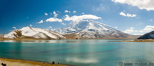
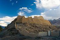
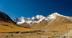
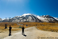
Shown in this gallery is the Chinese section of the highway between Kashgar and the Khunjerab pass. The scenery along the highway is breathtaking. The highway initially crosses the plains area, then enters the Pamir mountains through the Ghez river canyon. It passes by the Kongur Tagh mountain, the Karakul lake, the Muztagh Ata mountain, Tashkurgan before reaching the Chinese border at the Khunjerab pass.
Shown in this gallery is the Chinese section of the highway between Kashgar and the Khunjerab pass. The scenery along the highway is breathtaking. The highway initially crosses the plains area, then enters the Pamir mountains through the Ghez river canyon. It passes by the Kongur Tagh mountain, the Karakul lake, the Muztagh Ata mountain, Tashkurgan before reaching the Chinese border at the Khunjerab pass.

|
|
24 photos of the Karakoram highway between Kashgar and the Karakul lake
|
|

|
|
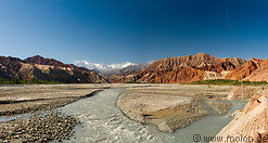
15 photos of the Ghez river canyon
|
10 photos of the Kongur Tagh mountain, at 7649 metres the highest peak of the Kunlun mountain range in China
|
|
|
|
17 photos of the Khunjerab pass, the border crossing to Pakistan and at 4800m the highest point of the Karakoram highway
|
Gallery with all images
|
Page viewed 35929 times since 29.01.2007
©Copyright Alfred Molon

