
Mt Santubong national park
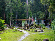
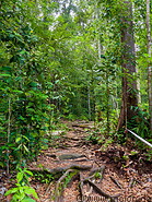
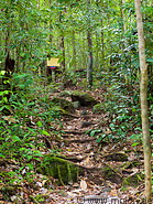
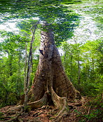
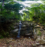
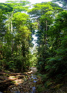
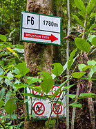
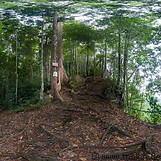
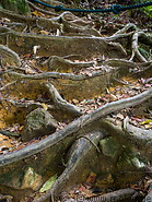
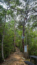
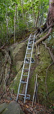
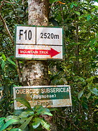
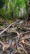
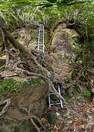
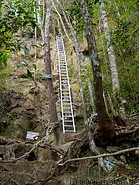
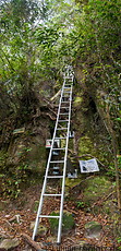
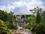
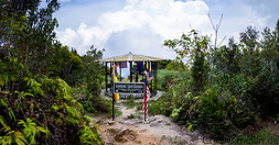
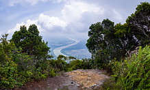
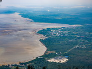
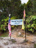
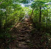
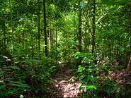
The Santubong national park is located on the Damai peninsula 35km north of Kuching, not far from the Sarawak cultural village. It consists of a patch of a patch of rainforest and Mt Santubong, an 810m high mountain. The main reason to visit this place is to climb the mountain. Here there is a well marked trail, which any person with sufficient stamina can easily climb without a guide. There is a waterfall near the park headquarter, but this is only interesting if there is enough water. The trail initially is not so steep, but requires some skill because it is full of large stones, rocks and tree roots. The last part of the trail is very steep. Ropes have been laid out to help visitors climb the mountain. In the last part of the trail there are some vertical sections where climbers have to use metal ladders. On the summit there are good views of the surrounding region.
How to get to the Santubong national park
The Santubong national park can be easily reached by car or taxi from Kuching (it's a 40 minutes drive).
Accomodation
There is both expensive and inexpensive accomodation directly near the park. Most visitors choose however to stay in Kuching.
is located on the Damai peninsula 35km north of Kuching, not far from the Sarawak cultural village. It consists of a patch of a patch of rainforest and Mt Santubong, an 810m high mountain. The main reason to visit this place is to climb the mountain. Here there is a well marked trail, which any person with sufficient stamina can easily climb without a guide. There is a waterfall near the park headquarter, but this is only interesting if there is enough water. The trail initially is not so steep, but requires some skill because it is full of large stones, rocks and tree roots. The last part of the trail is very steep. Ropes have been laid out to help visitors climb the mountain. In the last part of the trail there are some vertical sections where climbers have to use metal ladders. On the summit there are good views of the surrounding region.
How to get to the Santubong national park
The Santubong national park can be easily reached by car or taxi from Kuching (it's a 40 minutes drive).
Accomodation
There is both expensive and inexpensive accomodation directly near the park. Most visitors choose however to stay in Kuching.
|
|
|
|
|
|
|
|
|
|
|

|
|
|
|
|
|
|
|
|
|
|
|
|
Page viewed 2272 times since 24.04.19
©Copyright Alfred Molon