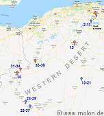
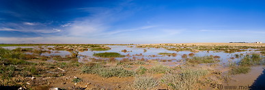
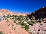
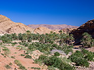
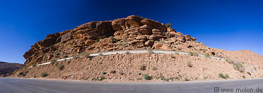
The Western Desert, also known as Grand Erg Occidental or العرق الغربي الكبير in Arabic, is the second largest erg (sand desert) in Algeria. It is located southeast of the Saharan Atlas mountain range, north of the Tademaït plateau and east of the Saoura river. It covers an area of 80000 km². It is partially covered by sand dunes, which reach a maximum height of 120m. The average elevation is 500m above sea level.
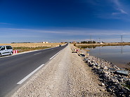
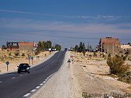
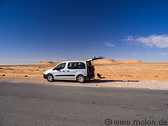
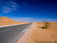
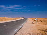
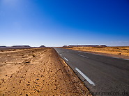
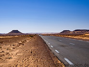
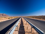
The photos in this gallery were taken during a one week, 2000km long loop around the Western desert starting in the north and touching Ghardaia, Timimoun, Taghit, Bechar and Ain Sefra and ending in Tlemcen. Overnight stops were made in Ghardaia, Timimoun and Bechar. Driving around the Western desert was relatively fast, because the highways were paved, mostly in good shape and plain.
How to get to the Western Desert
Desert highways (for instance the Trans-Sahara highway) allow access to the fringes of the desert. But there are no roads crossing the centre of the Western Desert.
Accommodation
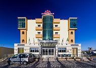
There are hotels in Taghit, Bechar, Timimoun and other cities. Especially Taghit and Timimoun are tourist hotspots with plenty of accomodation. These hotels and desert camps are however to a very large extent not bookable via the international hotel booking portals.

